Surface Water Watersheds

Watersheds

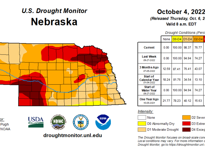
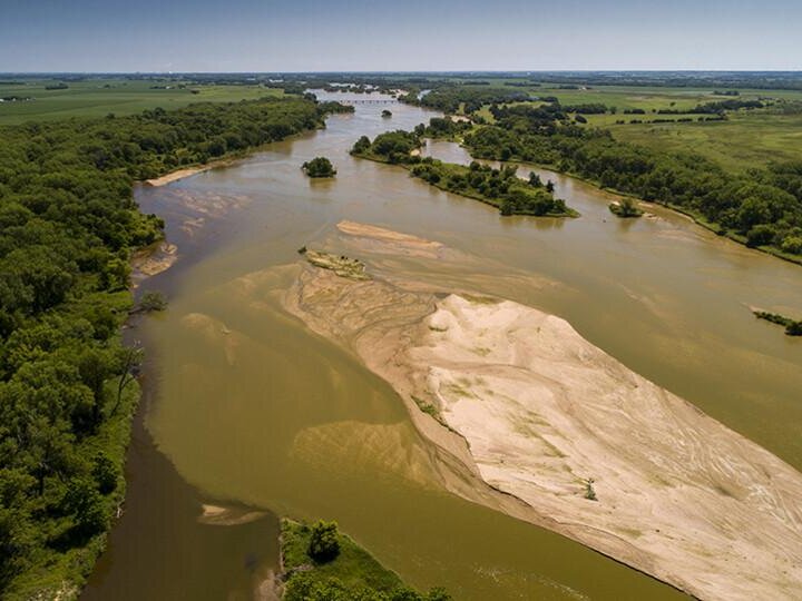
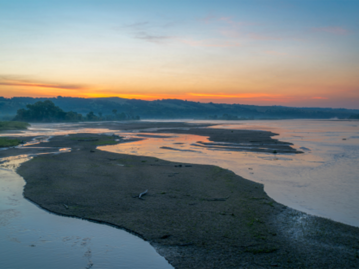
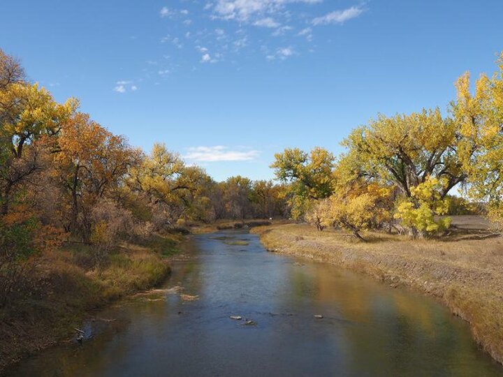
Everyone lives in a watershed. A watershed is the land area that contributes water to a location, usually a stream, pond, lake or river. Everything that we do on the surface of our watershed impacts the water quality of our streams, wetlands, ponds, lakes and rivers. What happens in one locality affects other downstream areas.

September Continues Warm, Dry Trend as Drought Worsens

Precipitation continued the trend of a general lack of moisture during the first month of fall. Our monthly statewide total came in at 27th driest and makes for the 12th driest three-month (July–September) period on record. At the start of October, nearly all of Nebraska is in a drought category, according to the U.S. Drought Monitor. Portions of the northeast and southwest are in exceptional drought (D4). Temperatures averaged above normal for September and quite a few new daily high temperature records were set, most in the triple digits. The October outlook doesn’t appear to have much relief in sight with a higher-than-average probability of the warmth and dryness to continue. Given the dryness, fire danger will be high particularly on windy days.

Read More

Using Broadcast Interseeding of Cover Crops as a Tool for Water Quality Improvements

Cover crops are a proven method for increasing soil health by reducing soil erosion, increasing soil organic matter, and improving soil structure. Cover crops also have the potential to positively impact water quality by reducing nitrate leaching and nutrient runoff. While cover crops are growing in popularity in Nebraska, there are significant planting challenges. To address these challenges, interseeding has been proposed as an alternative planting method to increase cover crop success.

Read More

The North Platte River — Multi-use Water, Part 5

The Glendo powerplant — a part of the Pick-Sloan Missouri Basin Program that controls water use for the entire basin — supplies power to Nebraska, Colorado and Wyoming. (Photo by Gary Stone)
Part 5 of a six-part series on the dams, reservoirs, power generation and some diversion dams located on the North Platte River. The series will follow a chronological order of the history and construction of these projects.

Read More

The North Platte River — Multi-use Water, Part 4

The Sierra Madre Mountain Range Snowpack in 2016. (Photo by Gary Stone)
Part 4 of a six-part series on the dams, reservoirs, power generation and some diversion dams located on the North Platte River. The series will follow a chronological order of the history and construction of these projects.

Read More

The North Platte River — Multiuse Water, Part 3

Seminoe dam and reservoir were built in the 1930s, specifically to provide hydropower generation.
The first dam and reservoir on the North Platte River after it enters from Colorado is Seminoe. Seminoe dam is part of the Kendrick Project intended to generate hydropower and expand irrigation in central Wyoming. The project, called the Casper-Alcova Project, was authorized in 1933 under the National Recovery Act during the Great Depression. The project was renamed the Kendrick Project in 1937. The Kendrick Project also includes the Alcova dam, reservoir and the Casper-Alcova Canal.

Read More

Sign up for updates from UNL Water

Sign Up Here