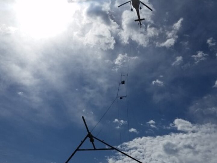
Using high-tech instruments suspended from helicopters, Nebraska’s Natural Resources Districts are getting a new look at what lies below. Airborne electromagnetic (AEM) surveys use principles of electromagnetic induction to generate images of the subsurface. In the past ten years, more than 18,000 miles of AEM surveys were completed in the State: about 6,600 miles were flown in 2018 alone.
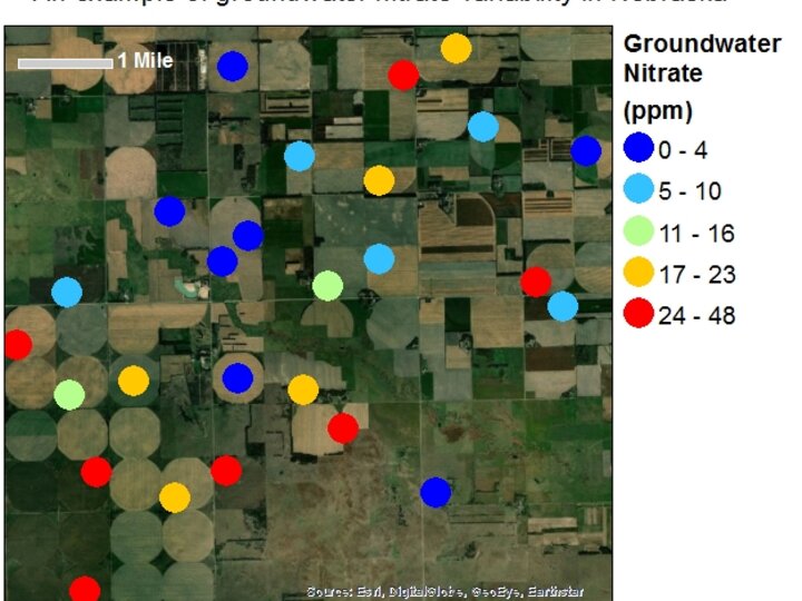
Have you ever wondered why groundwater nitrate maps show so much variation across Nebraska? Or why wells near to your own tested well have such different nitrate levels? The answer has three parts. Nitrate in groundwater varies from place to place because of differences in: